Exploring the Countryside Around Northampton
The countryside around Northampton offers an exquisite blend of natural beauty, historic landmarks, and tranquil getaways. This blog post serves as your comprehensive guide to exploring the hidden gems tucked away in Northamptonshire’s rural landscape. From the lush green country paths that invite you for long, contemplative walks to the detailed walking maps essential for navigation, this guide provides everything you need to embark on a fulfilling countryside adventure. Whether you’re a seasoned hiker or a nature enthusiast looking for a leisurely day out, the Northampton countryside promises an escape from the hustle and bustle, presenting a tapestry of experiences that captivate the spirit and the senses.
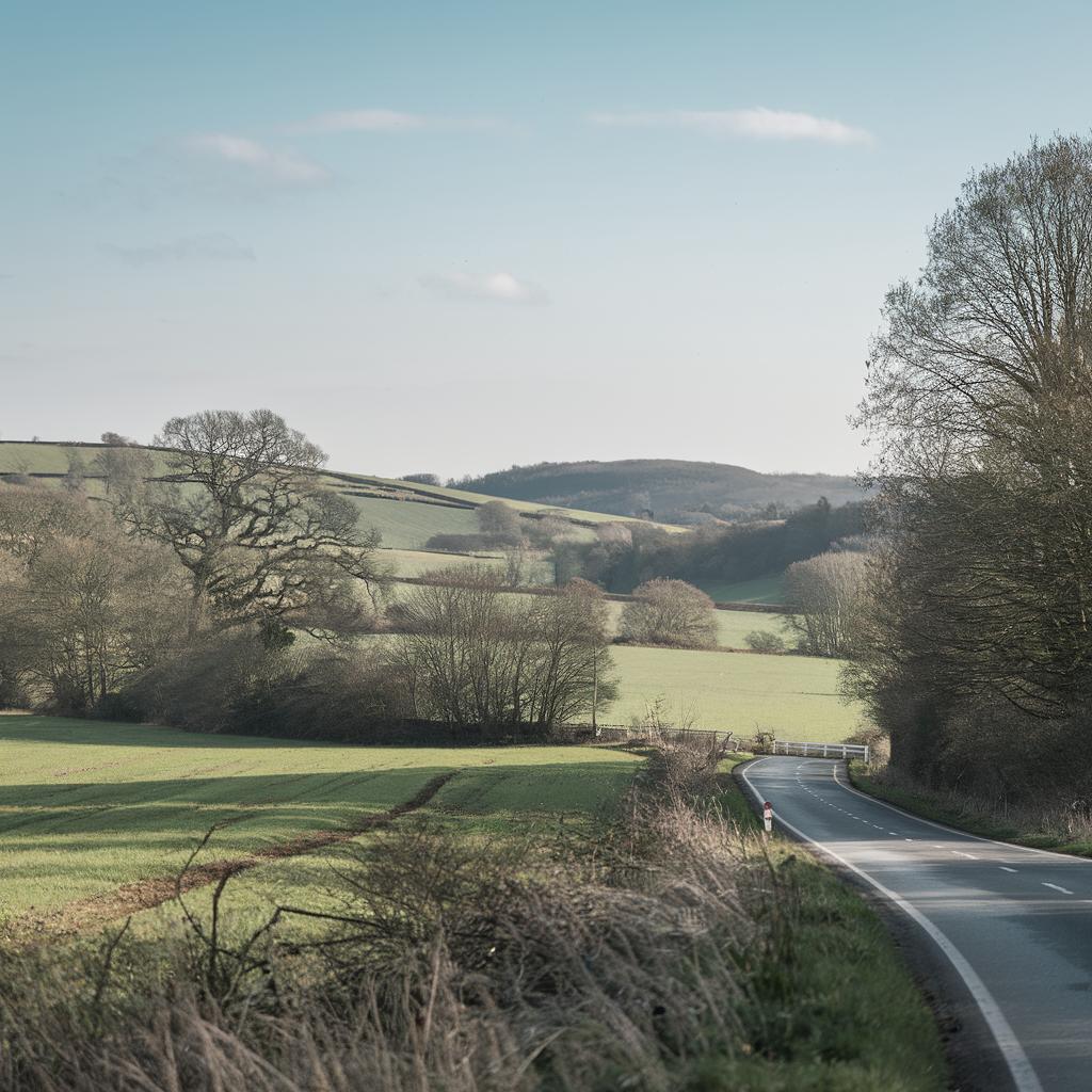
Country Paths
Northamptonshire boasts an abundance of country paths that weave through some of the most picturesque landscapes in England. The Nene Way, a renowned route following the River Nene, offers walkers diverse scenery ranging from serene riverbanks to the bustling market towns of Oundle and Thrapston. Just south of Northampton, the Brampton Valley Way stretches over 14 miles, leading explorers from Boughton to Market Harborough, all the while covering tranquil countryside vistas and the iconic Kelmarsh Tunnel.
For those seeking a slice of history alongside their walk, the Lyveden Way loop offers a historic trail featuring the unfinished Elizabethan summer house, Lyveden New Bield. The well-marked trails, clean facilities, and welcoming villages make these paths perfect for day-long excursions or even shorter, leisurely strolls. Always be sure to have a reliable map or GPS, as some paths can intersect with private lands where livestock roam freely.
Download all the Northamptonshire Countryside Walking Maps Below…
Any exploration of the Northamptonshire countryside is incomplete without a good map in hand. Thankfully, the region offers numerous downloadable maps, each providing invaluable insights into the various walking routes, points of interest, and amenities along the way. These maps, often provided by the Northamptonshire County Council or local tourism websites, are meticulously detailed and updated frequently, catering to both the novice and the expert walker.
For tech-savvy explorers, digital walking maps are available through various hiking apps that offer GPS-based guidance for each trail. These apps not only ensure you stay on track but also highlight spots for panoramic views and local attractions, effectively bringing the beauty of Northamptonshire right to your fingertips. With these tools in hand, embarking on a walking adventure across the lush rural landscapes has never been more accessible or enjoyable.
Summary of Main Points
| Section | Content Summary |
|---|---|
| Country Paths | Describes the various country paths including the Nene Way, Brampton Valley Way, and Lyveden Way with options for both long distance and leisurely walks. |
| Download Walking Maps | Emphasizes the importance of using downloadable and digital maps for navigation, safety, and enhanced exploration of the Northamptonshire countryside. |

